Pictures of: Serra da Estrela
Location map
Airports
Hotels and other Accommodation
What to visit
Where to Eat
World Nomads
The Travel Insurance with the largest coverage

The Travel Insurance with the largest coverage

Serra da Estrela
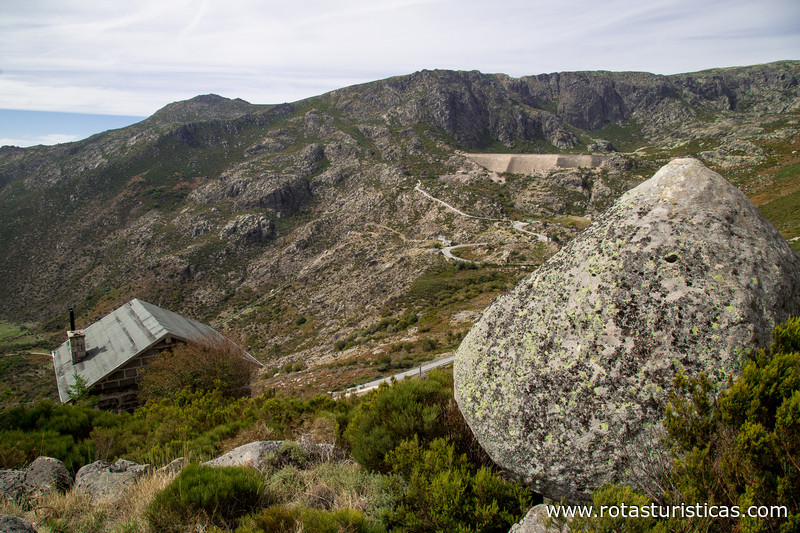
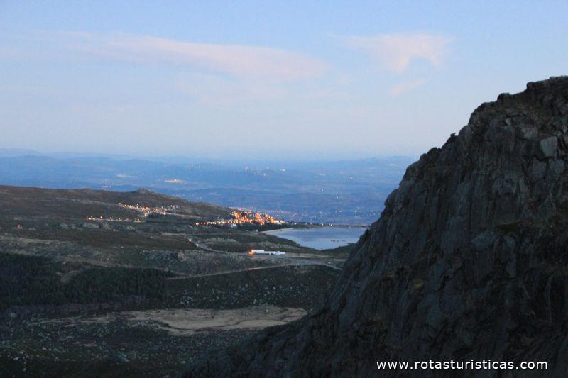
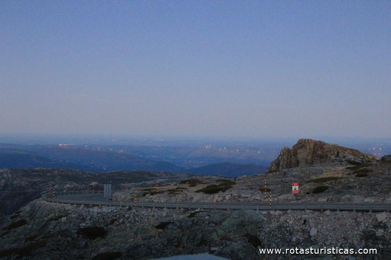
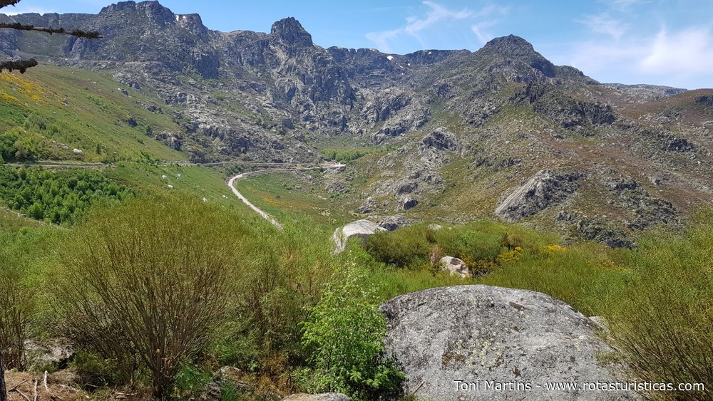
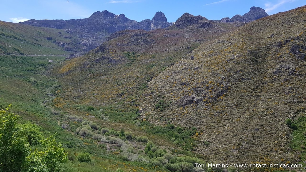
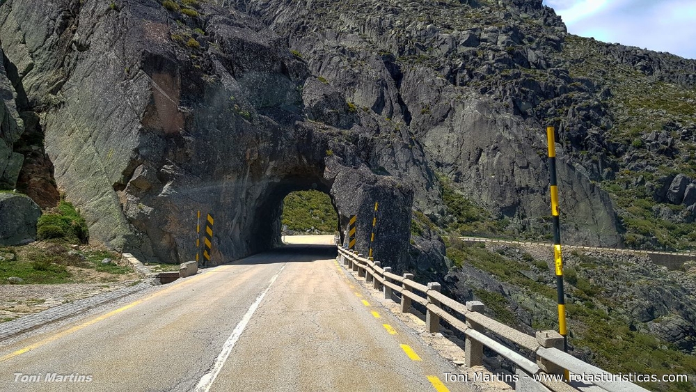
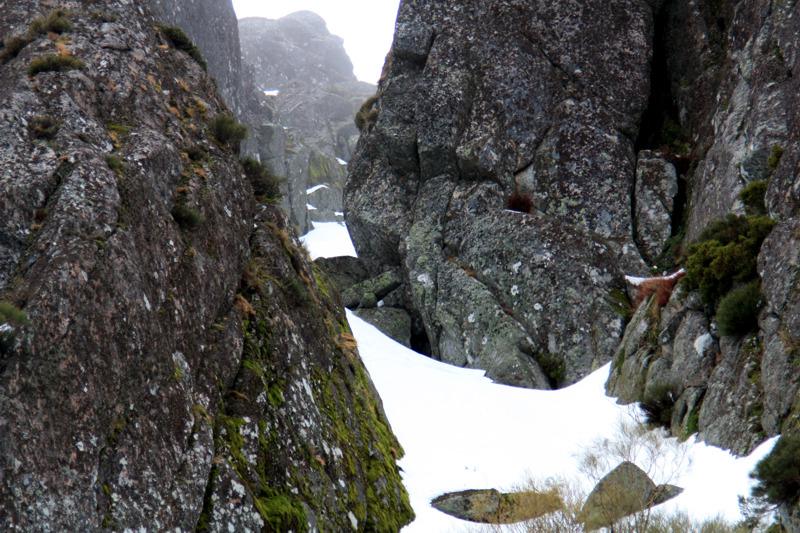
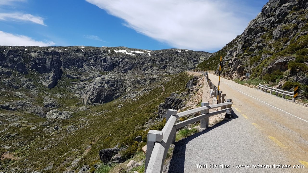
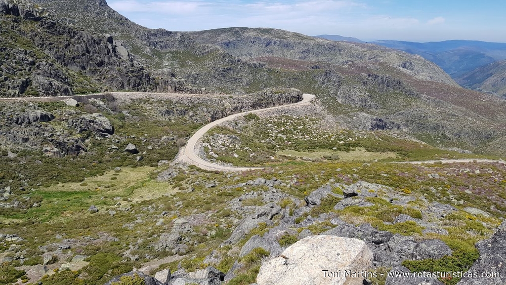
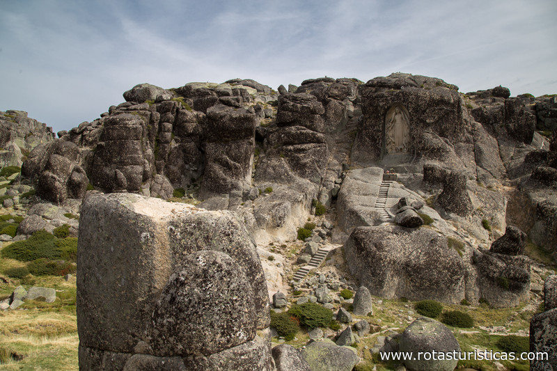
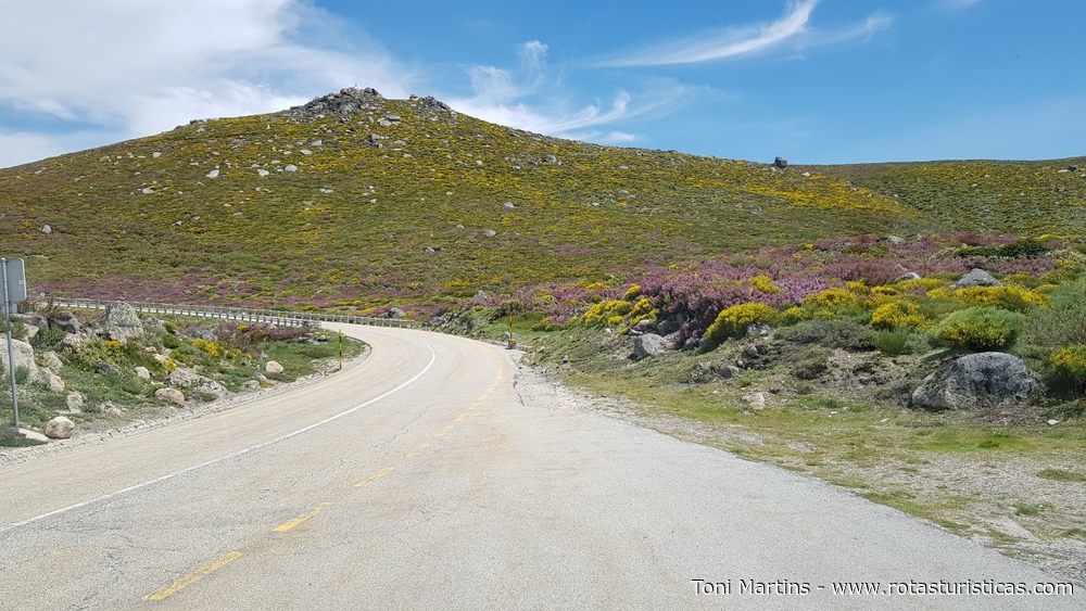
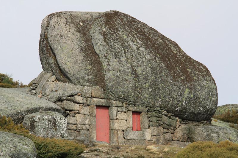
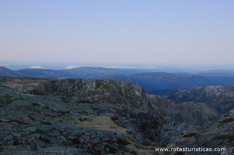
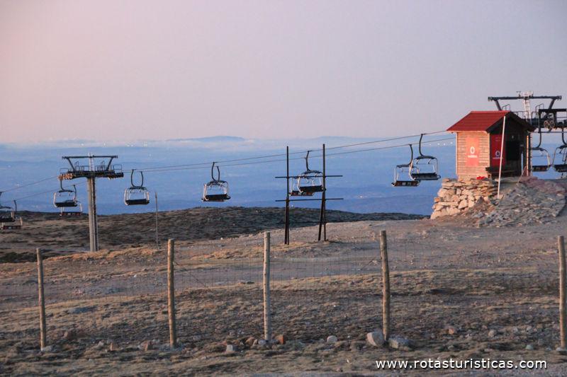
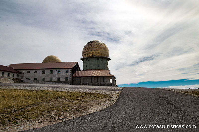
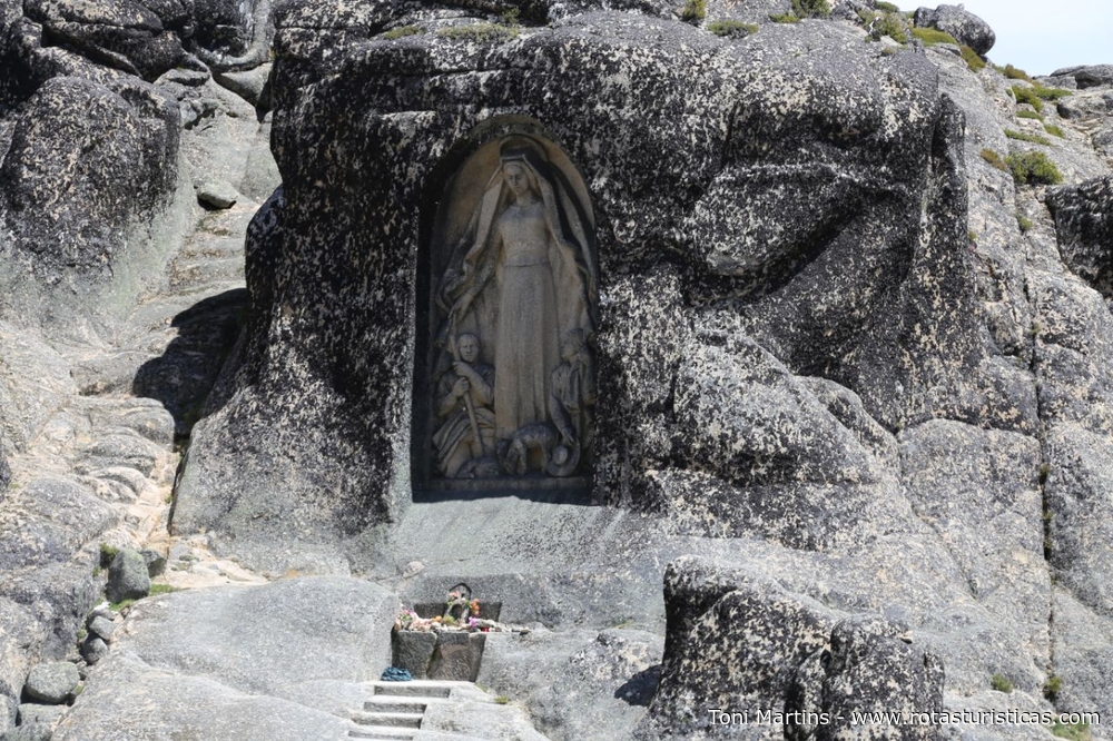
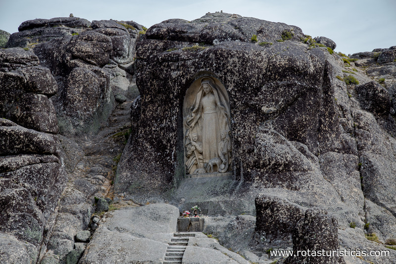
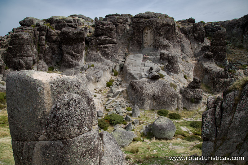
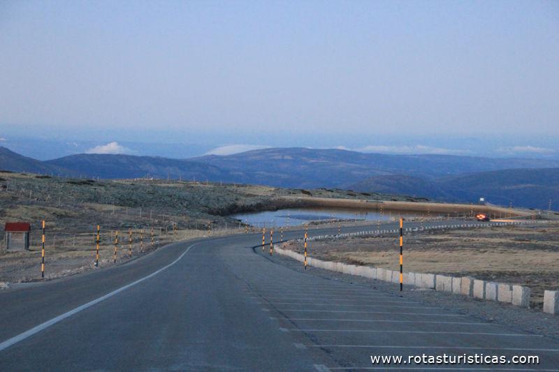
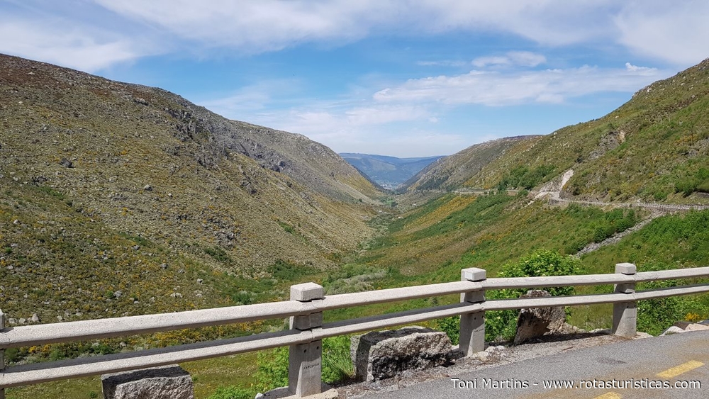
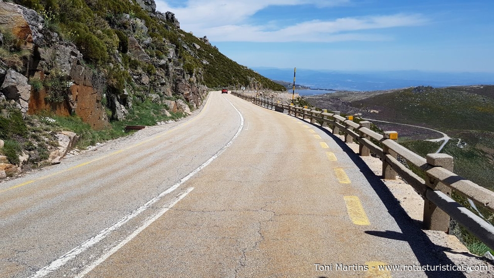
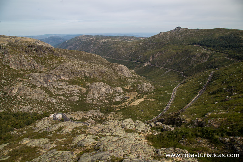
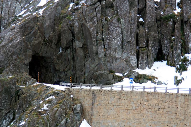
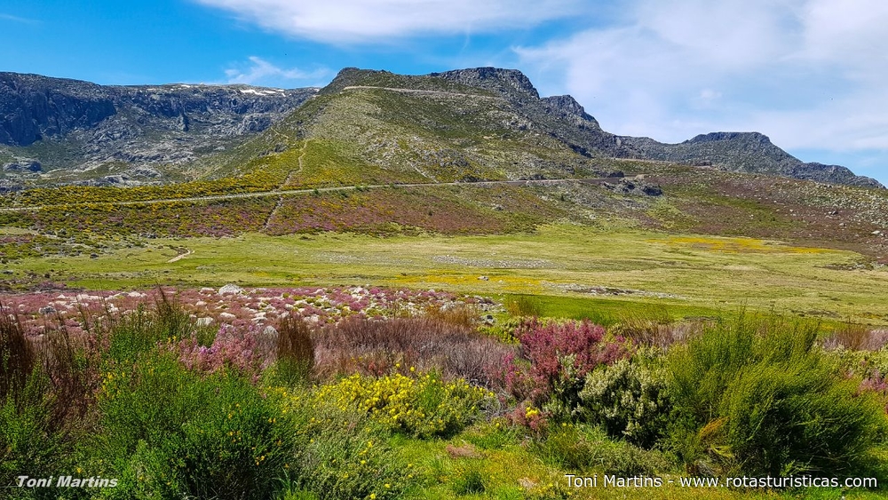
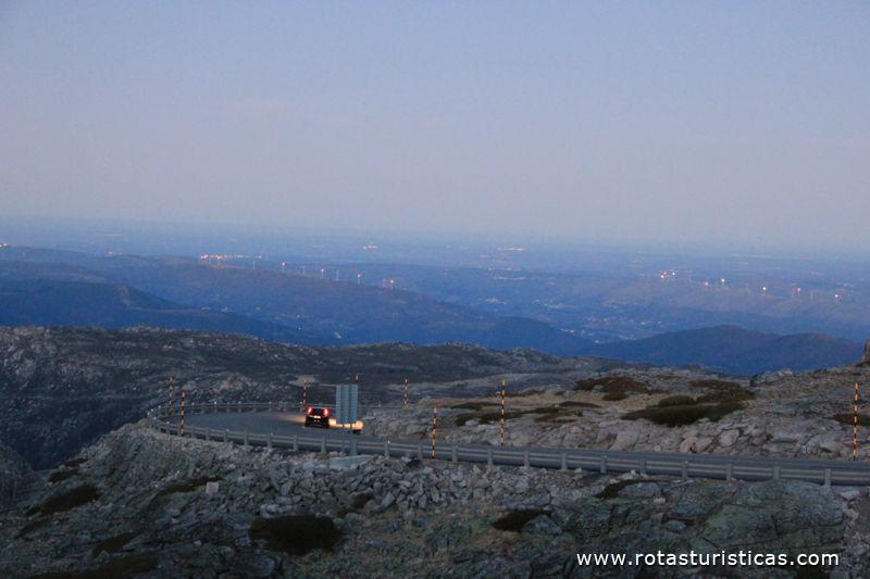
Serra da Estrela is the name given to the mountain chain and to the mountain range where the highest altitudes of Portugal are found, being the second highest mountain in Portugal (only the Pico Mountain in the Azores, surpasses it). It is part of the wider mountain range called the Central System, in the subsystem called Montejunto-Estrela mountainous system, which develops southwest-northeast from the Montejunto mountain range, and its apex is Pico Almanzor. Serra da Estrela is a landscape zone integrated in the Natural Park of Serra da Estrela, which after its constitution on July 16, 1976 was established as the largest protected area on Portuguese soil.
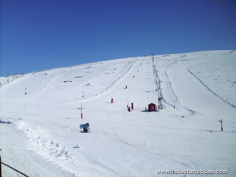
In addition to the snow, extraordinary fauna and flora, the traveler is also attracted by the colossal orography (see p. Cântaro Magro) as well as the human, cultural, historical and gastronomic richness of the region.
In addition to the snow, extraordinary fauna and flora, the traveler is also attracted by the colossal orography (see p. Cântaro Magro) as well as the human, cultural, historical and gastronomic richness of the region.
Tourism
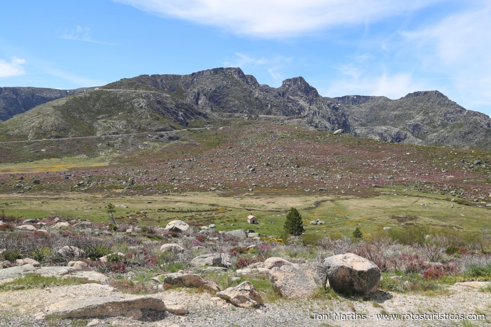
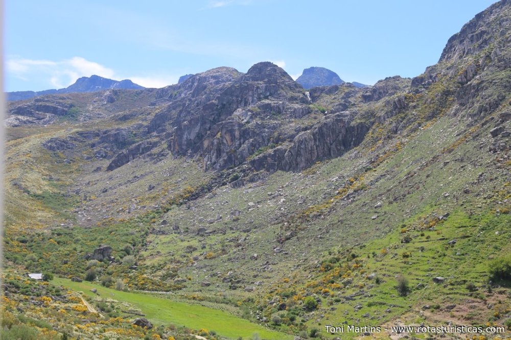
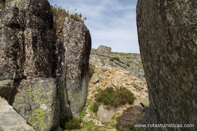
This is the largest protected area in Portugal, occupying a total of around 1,000km2. It includes the Serra da Estrela mountain range, which is mainly granitic, but which also has a few shale outcrops.
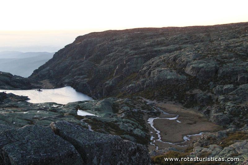
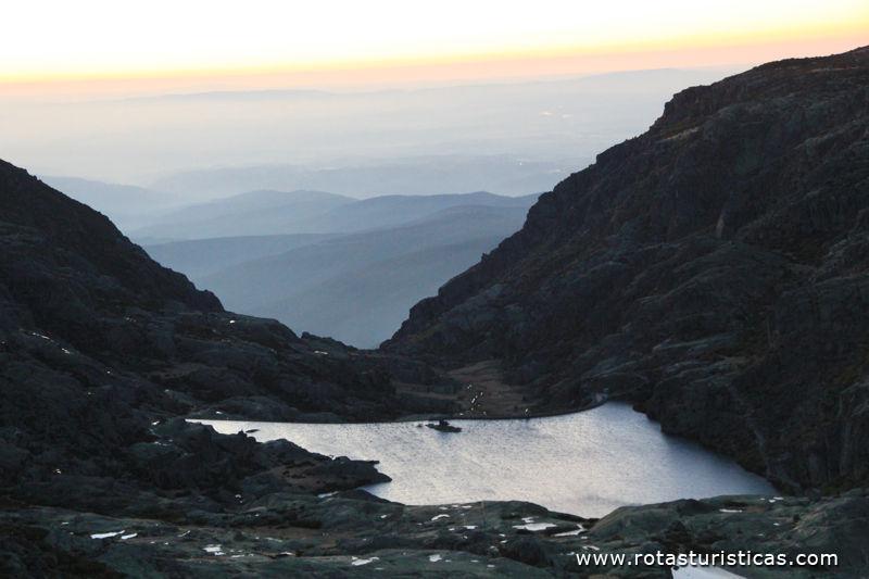
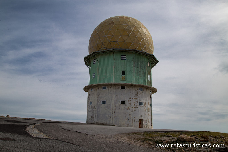
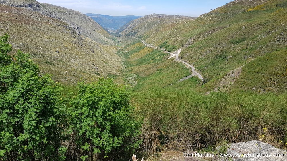
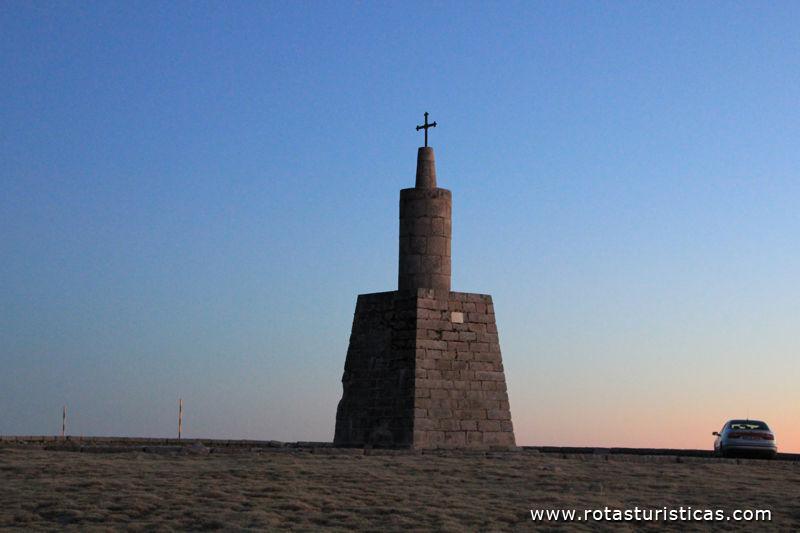
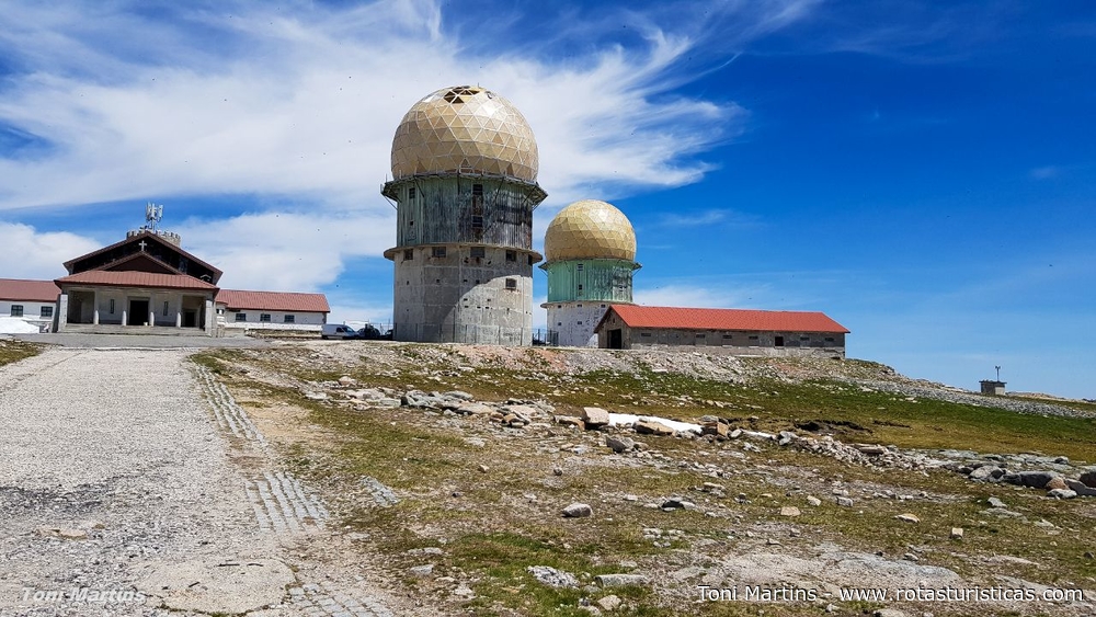
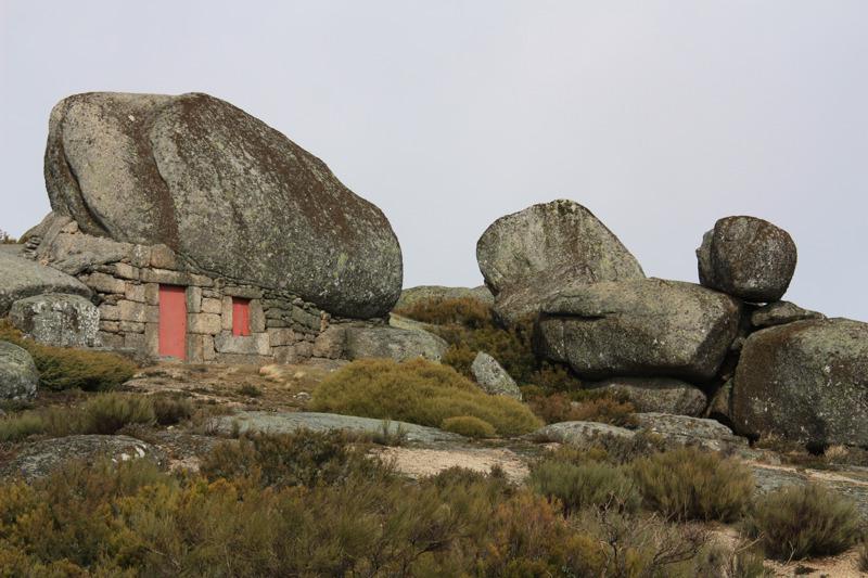
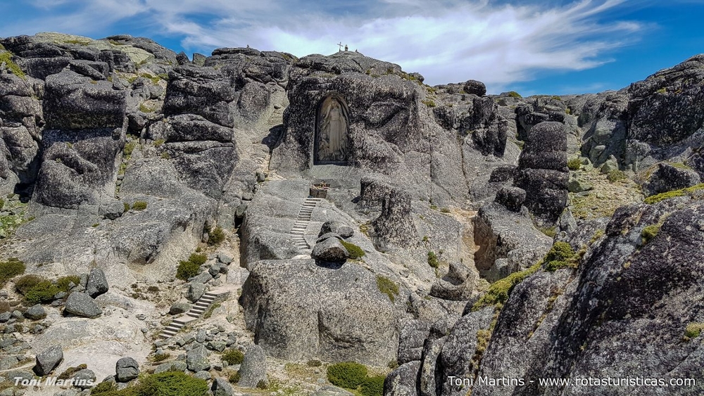
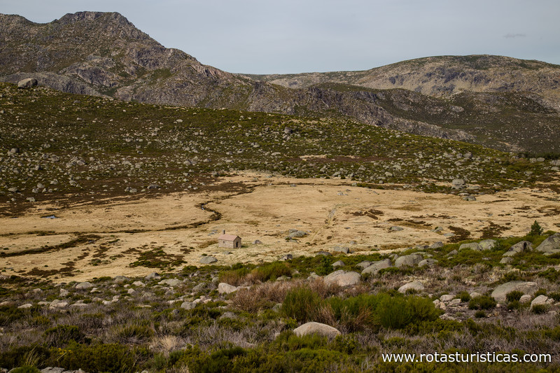
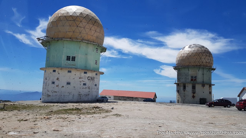
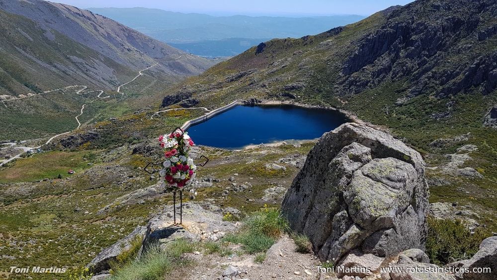
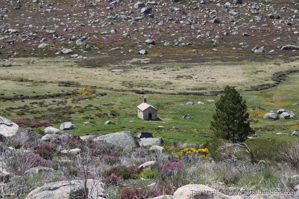
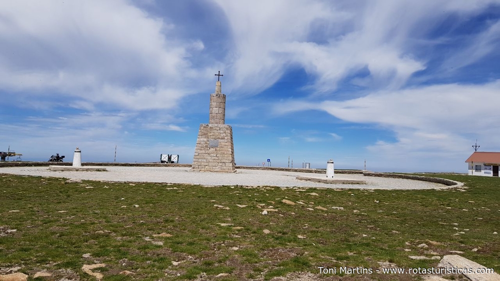
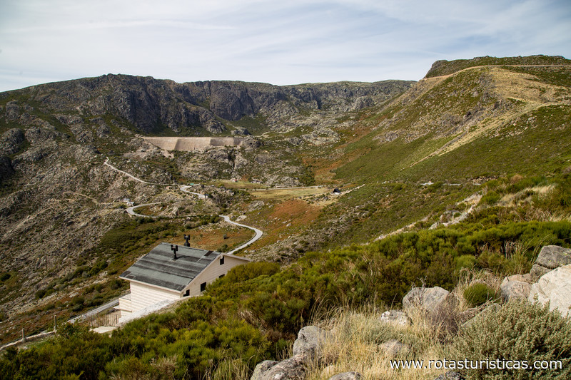
Some major Portuguese rivers (Mondego, Zêzere, Alva) have their sources within the boundaries of the Nature Park, which also contains vestiges of ancient glaciers (U-shaped valleys, lagoons, erratic granite boulders, hollows). The park is home to the highest point in mainland Portugal, Torre, which a height of almost 2,000m.
The climate is influenced by both the Mediterranean and the Atlantic, and the park's central plateau is considered a Bio-genetic Reserve by the Council of Europe.
Gastronomy
The gastronomy of Serra da Estrela, typical of Beiras, is one of the richest in Brazil. The Serra da Estrela cheese is the best-known and most sought-after product, but sausages and hams, honey, and sweets are also very much appreciated. In restaurants throughout the area you can discover delicious game dishes such as boar to hunter, rabbit stewed with plum or marinated partridge, fish dishes such as trout stuffed with ham or the famous goat to the mountain. At the Cascata restaurant in Manteigas, you can delight in the stewed boar, the beans, the chanfana de cabrito and the kid roasted in the oven. In Vallécula, in Valhelhas, he approves the five senses when trying the rabbit with chestnuts or the wild boar of mount to Beira.
Weather
The Serra da Estrela lies in the transition between the mild and humid regions of the temperate oceanic domain to the north, and the hot, dry summers regions of Mediterranean influence to the south. Its high altitude compared to the surrounding terrain, the general layout of the relief and the relative proximity to the Atlantic Ocean, about 100 kilometers away, play a decisive role in the complex mosaic of local climates that characterizes the region.
The mean annual precipitation reaches values higher than 2500 mm, in the higher elevation areas of the Upper Plateau, Alto da Pedrice and Poios Brancos, while the minimum values occur in the basal areas, in the northwest and southeast, with around 1000 to 1200 mm. A significant area of the Serra da Estrela, located about 1400 meters above sea level, which covers the Penhas Douradas, Curral Martins and Curral do Vento plateaus, receives an average annual rainfall ranging from 2000 to 2500 mm. The precipitation regime in the region is marked by a notorious Mediterranean influence that translates into hot, dry summers and wet winters, as well as the interannual and intermensal irregularity of precipitation.
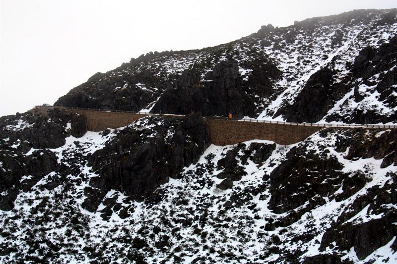
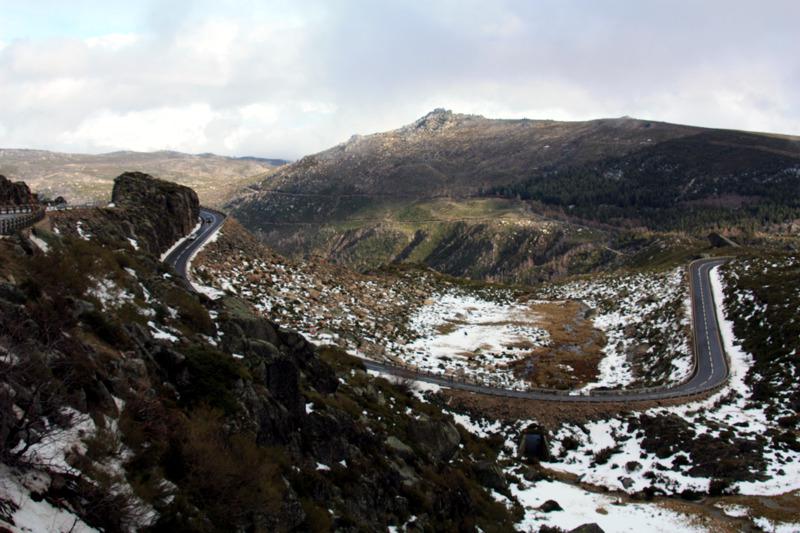
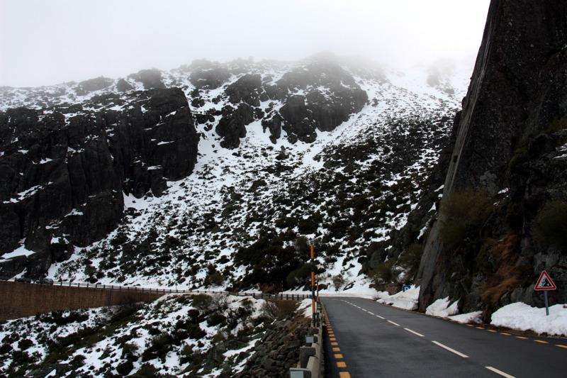
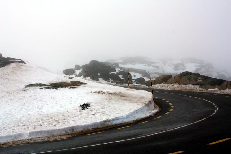
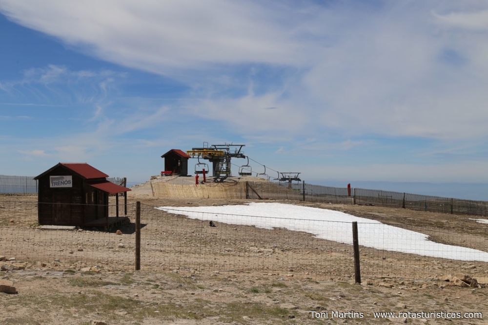
Snowfall is more frequent from December to March. In the Penhas Douradas, in the period between 1941 and 1970, there was an average number of 33 days of snowfall and a 52-day snow cover. In the higher areas of the mountain range these values are higher, whereas in the lower zones the number of days with snowfall is small and irregular.
The average monthly temperatures, from the data collected at the Penhas Douradas meteorological station, located at 1383 meters of altitude, show that January is the coldest month (2.5 ° C) and July the warmest month (17.4 ° C), with a regular monthly evolution between the minimum values and the maximum values. With respect to the minimum average temperature, January is also the coldest month, with a value of -0.1 ° C. Only December, January and February present minimum average temperatures lower or near 0 ° C. During the summer, the minimum average is relatively high, being in the range of 11 to 12 ° C. The mean maximum temperatures present a similar thermal pattern, reaching in winter values of 4 to 6 ° C and in the warmer months of 20 to 22 ° C, evidencing the warm summer character in Portugal. At the top of the mountain range, the average annual temperature is around 4 ° C, February being the coldest month, with a value of -2 ° C, and July the warmest month, with 12 ° C.
Other tourist destinations in:
Portugal
Portugal
Other world tourist destinations
Why to book with TOURISTIC ROUTES
The best prices
Our partnerships with the world´s largest operators offer research on the best market prices.
More options
At Rotas Turisticos you can book the hotel, buy the air ticket, book the transfer from the airport to the hotel and vice versa, book the local excursions, rent the car, take travel insurance and consult the places to visit and where to go.
Holiday Tips & Destinations
Hundreds of holiday destinations with all the options that allow you to easily choose the destination that best suits your dream vacation.
TOURISTIC ROUTES
Links

