Santa Marta


Santa Marta, Magdalena, Colombia
Suggest Place to Visit
3451
Track to location with GPS |
 |
Before the arrival of the European man, the American continent was populated by indigenous people whose origin for the particular case of Santa Marta is very difficult to determine, because being north of South America and in the northernmost part of Colombia, it experienced the passage of indigenous migrations in all senses.
The natives who eventually came to populate the territory formed groups separated by the topographic complex, with more or less different cultures. Among them, the Tayronas stand out, who had great influence in the Caribbean Region of Colombia, and were located towards the foothills of the Sierra Nevada de Santa Marta on its northern slope.
The Tayronas formed population centers with numerous inhabitants. Its economy was essentially agricultural; They grew corn, balata, pineapple, and other products with advanced techniques, a terrace system, and irrigation. They exchanged their products with other indigenous tribes in the interior of the country, since even the emeralds reached the coast. They exploited the salt and worked the gold.
Hispanic era
In 1524 Rodrigo de Bastidas capitulated the government of Santa Marta, which corresponded to the territories from Cabo de la Vela to the mouth of the Magdalena River, the responsibility for these governments fell solely on the capitulant and at no time on the crown. Therefore, it was the responsibility of the conqueror the foundation of towns, the attraction of colonists, the bringing of seeds, cattle of all kinds and slaves. Bastidas, came to the government in 1525 and founded Santa Marta as capital and port. His intentions with this land were different from those of the other conquerors, he wanted to spend his last days of life in this territory. Due to this determination, Bastidas' ideas on slavery and the methods used for the extraction of resources were contrary to those of most of his other competitors, so he was attacked and because of the blows he received, he died. . In his replacement, Rodrigo Álvarez Palomino was appointed as governor.
Several conquering expeditions set out from Santa Marta, the most important being that of Gonzalo Jiménez de Quesada, which culminated in 1538 with the discovery of the Sabana de Bogotá and the founding of Santafé.
The colonization of these lands began with the arrival in Santa Marta of the Governor Lope de Orozco in 1596, after which some improvements were made, agriculture was organized, cattle ranching and relations with the indigenous people were established. They were brought by the Spanish to improve agriculture. Santa Marta, like Cartagena de Indias, was the target of incursions by pirates or filibusters who looted it several times during the 16th and 17th centuries.
When the Viceroyalty of Nueva Granada was created in 1724, the region preserved the character of a province. In 1724 the Viceroyalty was suspended to be reestablished in 1746, conserving the system of government until the time of independence.
The Tourist, Cultural and Historical District of Santa Marta, or Santa Marta is a Colombian city, capital of the department of Magdalena, in the Caribbean Region. Founded on July 29, 1525 by the Spanish conqueror Rodrigo de Bastidas, it is the oldest existing city in Colombia and the second oldest in South America.
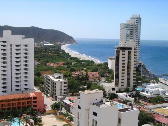
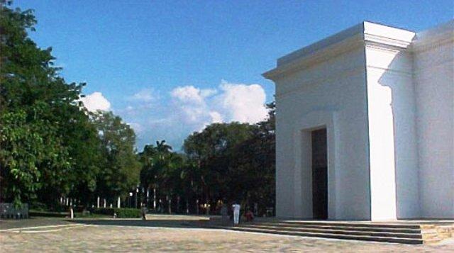
This city, located in the Bay of the same name, is one of the main tourist destinations in the Colombian Caribbean. Its location between the Sierra Nevada de Santa Marta, with the highest peaks in the country, and the Caribbean Sea, make it attractive to visit the variety of fauna and flora in the area, in addition to the cultural and historical sites that the city has . As an important event, Simón Bolívar died in a farm called Quinta de San Pedro Alejandrino that at the time was located on the outskirts of the city, on December 17, 1830. Due to the above, the 1991 constitution conferred on Santa Marta the character of Tourist, Cultural and Historical District.
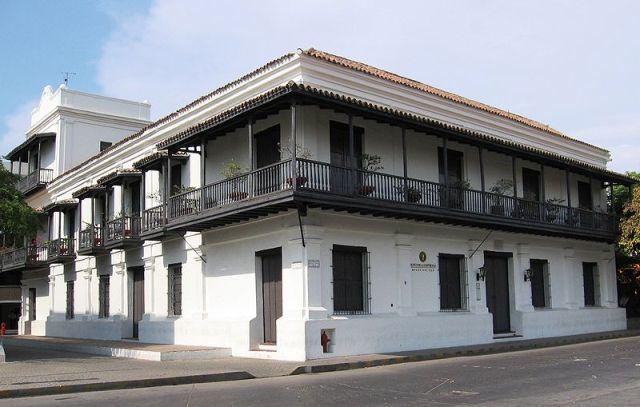
Its most populated and commercially active nucleus appears in the traditional central area, near the Market Square. The plan between Carrera 1, Calle 22 and Avenida del Ferrocarril, can frame the historic center and commercial center of the city.
The symbols of the city of Santa Marta are the bicolor flag composed of white and azure blue and the shield with a azure blue border also, from top to bottom there are three images: the Virgin Mary, a tower and a small boat of four oars.
Santa Marta is an important port for the country, thanks to its geographical location because it has a natural draft that benefits the course and boarding of ships, in addition to being the deepest port in the American continent and one of the safest in the world . Therefore, many are the commercial vessels arrive in the city, which contributes to the economy of the region. The Sociedad Portuaria de Santa Marta is the organization in charge of ports.
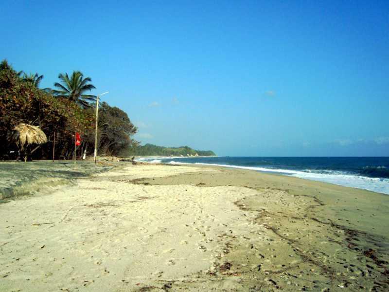
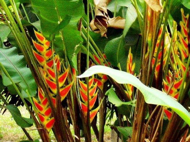
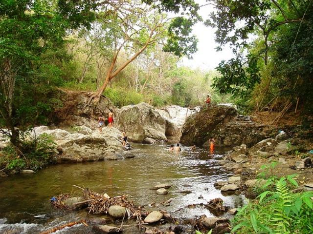
In Santa Marta, the tourist area apart from its historic center, includes what is properly the urban area, the town of El Rodadero, the national parks, the Sierra Nevada de Santa Marta, the southern area that passes through the Pozos Colorados until arriving to Ciénaga. The mountainous massif of the Sierra Nevada creates several rivers and natural environments ranging from dry forests to tropical humid forests that allow ecotourism. The Santa Marta Tourism Promotion Fund, accordingly, uses the slogan The magic of having it all.
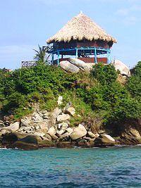
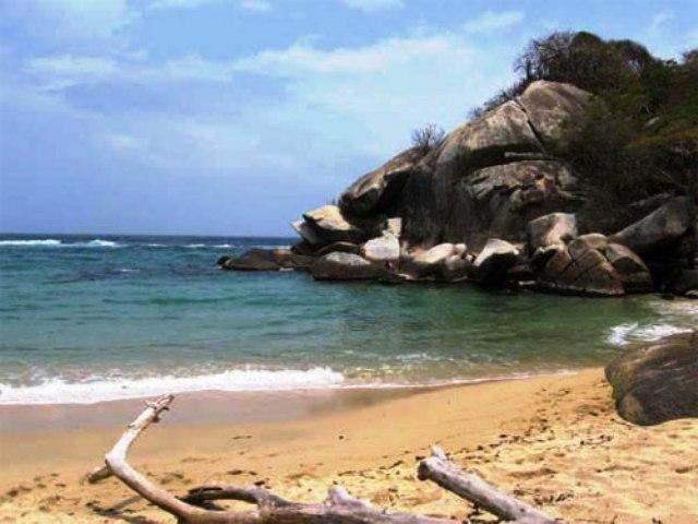
It also has places like Arrecifes, Playa Blanca, Punta de Betín, Quebrada Valencia, Ciudad Perdida, Tayrona National Natural Park, Taganga, Bahía Concha and Neguange.
Comments
We don´t have yet any comments about:
Santa Marta
Santa Marta
Be the first to leave a comment as it is very important to inform other people
Outros locais a visitar
Within a radius of 20 km from:Santa Marta
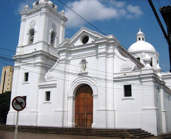
Catedral |
| 0,7 Km |
 |
Museo Antropológico y Etnológico |
| 1,0 Km |
 |
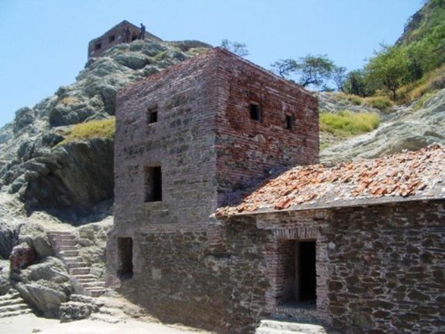
Castle of San Fernando |
| 1,9 Km |
 |
Mendihuaca (Santa Marta - Magdalena) |
| 2,4 Km |
 |
Taganga |
| 3,1 Km |
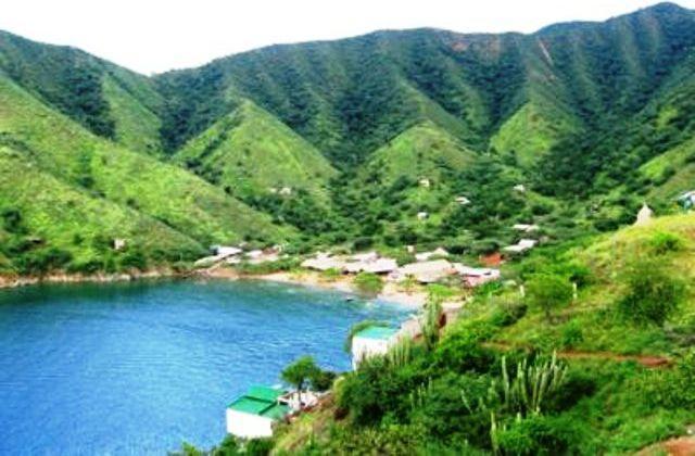 |
Quinta de San Pedro Alejandrino |
| 3,1 Km |
 |
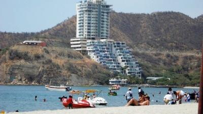
El Rodadero Beach |
| 4,9 Km |
 |
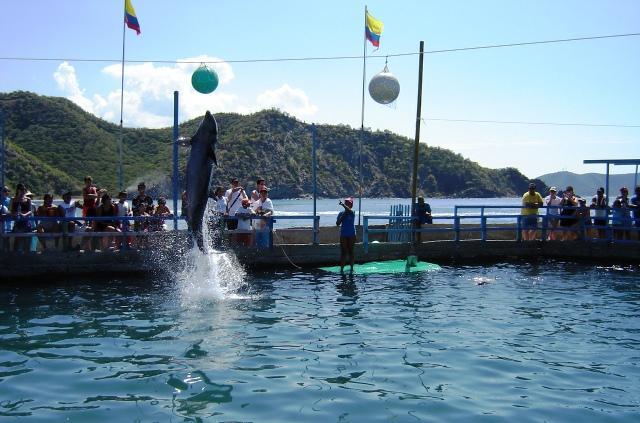
The aquarium |
| 5,4 Km |
 |
Tayrona National Park (Santa Marta) |
| 7,5 Km |
 |
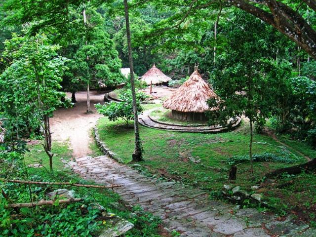
Pueblito Chairama |
| 7,7 Km |
 |
Concha Bay |
| 8,3 Km |
 |
Agua Viva Aquarium and Garden |
| 8,7 Km |
 |
Minca |
| 14,7 Km |
 |
Hotel reservation near Santa Marta within a radius of 20 km

Why to book with TOURISTIC ROUTES
The best prices
Our partnerships with the world´s largest operators offer research on the best market prices.
More options
At Rotas Turisticos you can book the hotel, buy the air ticket, book the transfer from the airport to the hotel and vice versa, book the local excursions, rent the car, take travel insurance and consult the places to visit and where to go.
Holiday Tips & Destinations
Hundreds of holiday destinations with all the options that allow you to easily choose the destination that best suits your dream vacation.
TOURISTIC ROUTES
Links
Follow us on social networks


