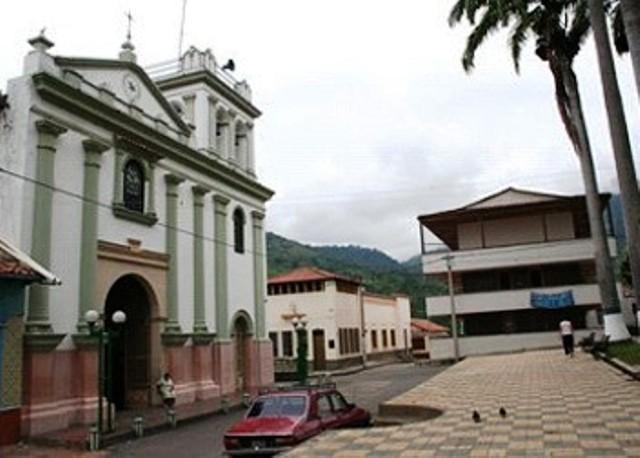
Salazar de las Palmas, Norte de Santander, Colombia
Suggest Place to Visit
831
Track to location with GPS |
 |
With the Chitareros Indians annihilated, the conditions for a true colonization in that part of the New Granada territory were in place.
Captain Alonso Esteban Rangel managed to get the cell of February 27, 1583, sent to him from the Royal Court to proceed in accordance, that is to say, ´´ to subscribe mention, to the foundation of a city´´, which carried out the November 4, 1583.
According to Fray Pedro Simón in his text ´´News of the conquest of the mainland´´, this new foundation was called Salazar de las Palmas because of the many that were in the place where it was populated. But the historian Luis Febres Cordero in his book ´´ From the old Cúcuta´´ says that: ´´The name of the town founded, third in antiquity among those that make up Norte de Santander is due to the fact that the founder wanted to synthesize his gratitude on famous Oidor Alonso Pérez de Salazar, unofficial protector and advisor who shortened the dispatch of his conqueror proceedings in Santafé´´.
A third theory about the origin of the name says that at that historical moment, today called Rio Salara, it was named Rio de las Palmas, a name that Captain Diego Montes had given it.
As for the founder, the historian Matos Hurtado, says: ´´ Captain Alonso Esteban Rangel, a native of Extremadura (Spain) and the brave conqueror Antón Esteban Rangel, one of the founders of Pamplona and San Cristóbal, and who was a victim of the cannibalism of the Indians. When his father died, he inherited the valuable encomiendas and later founded Salazar´´.
The founder of Salazar de las Palmas comes through his father's line, great-grandfather of the founder of San José de Cúcuta.
Full Name: Salazar de las Palmas
Foundation: November 4, 1853.
Founder: Alonso Esteban Rangel.
Population: DANE 2005 Census: 9,451 inhabitants
Altitude: 815 meters above sea level.
Extension: 1342 Km2
Climate: 24 degrees C.
Distance to Cúcuta: 56 Km
Geographic coordinates: Longitude west of Greenwich 72º 49´, North latitude 7º 47´
Limits: North: Gramalote and Villacaro,
South: Arboledas,
East: Santiago and Durania,
West: Cáchira and Villacaro.
Administrative Division: Composed of 13 townships and 80 villages
Rivers: Peralonso, Salazar and Sardinata and the Pringador, Leiva, Peralonso, San Miguel streams.
Center Region
Economy:
Agricultural production in lines such as coffee, citrus, cassava, sugar cane and sapote.
Livestock production such as cattle, pigs and poultry
Charcoal
Holidays:
January and September, Virgin Our Lady of Bethlehem
June 28, 29 and 30, San Pedro and San Pablo, Municipal festivities
Tourist sites:
Place where Our Lady of Bethlehem appeared
Chapel of the Virgin of Bethlehem
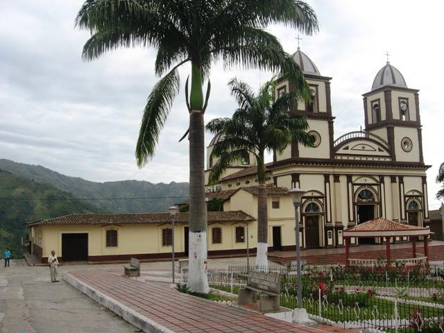
Parish church
Principal Park
Bronze statue of Cacique Ciñera
Different spas: Pozo Juana Naranja, Los Pamarrosas
The San Jacinto bridge
The Alps military base
Juana Naranja Hotel.
Comments
We don´t have yet any comments about:
Salazar de las Palmas
Salazar de las Palmas
Be the first to leave a comment as it is very important to inform other people
Outros locais a visitar
Within a radius of 20 km from:Salazar de las Palmas
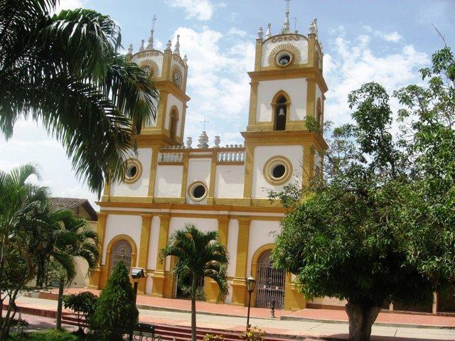
Santiago de Cali |
| 14,7 Km |
 |
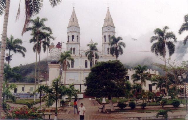
Groves |
| 14,8 Km |
 |
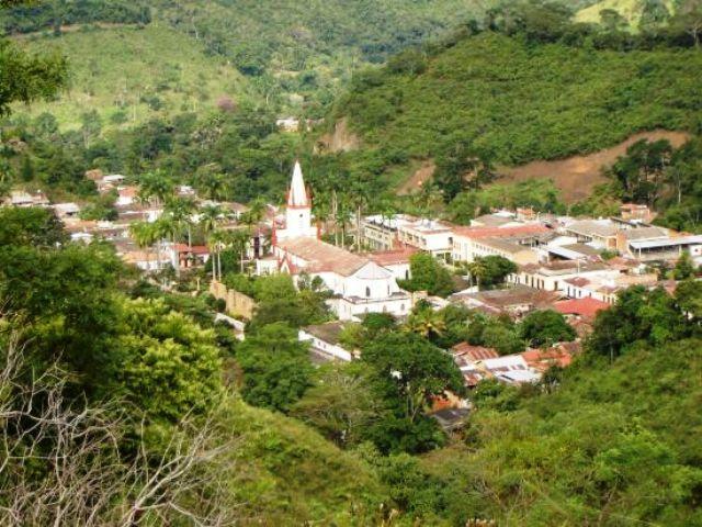
Durania |
| 18,4 Km |
 |
City of Lourdes |
| 19,4 Km |
 |
Hotel reservation near Salazar de las Palmas within a radius of 20 km
No results
Why to book with TOURISTIC ROUTES
The best prices
Our partnerships with the world´s largest operators offer research on the best market prices.
More options
At Rotas Turisticos you can book the hotel, buy the air ticket, book the transfer from the airport to the hotel and vice versa, book the local excursions, rent the car, take travel insurance and consult the places to visit and where to go.
Holiday Tips & Destinations
Hundreds of holiday destinations with all the options that allow you to easily choose the destination that best suits your dream vacation.
TOURISTIC ROUTES
Links


